Lawrence Creek SNA
About • Location • Activities • Ecology
About |
||
Ownership |
||
|
||
Links |
||
Overview |
||
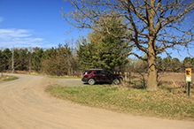
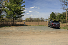
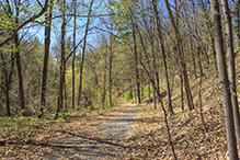
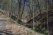
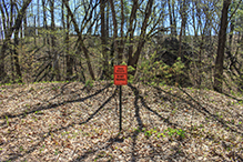
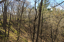
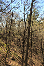
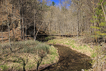
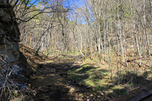
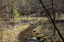
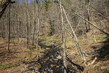
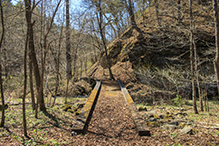
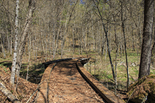
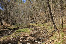
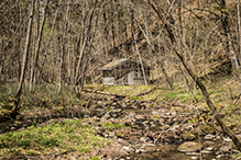
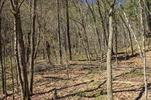
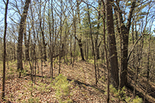
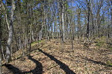
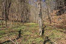
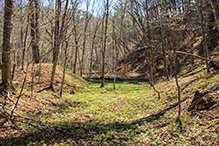
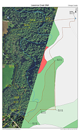
Designated on June 12, 2017, Lawrence Creek SNA is one of the newest Scientific and Natural Areas in the Minnesota DNR’s inventory. It consists of 71.8 forested acres of steep bluffs and deep ravines near Franconia in Chisago County. Included within its boundary is a trout stream, a hunting shack, and an 11-acre state wildlife sanctuary. The sanctuary is closed to the public and visitors are asked to “Stay back from cliffs and off steep slopes” to protect sensitive plant communities. There are no maintained trails, but there is a forest road and worn footpaths that together complete a 3.2-mile circuit of the site. Visitors to Lawrence Creek SNA in May will see Pennsylvania sedge in flower and sharp-lobed hepatica and yellow marsh marigold peaking. Other spring wildflowers in bloom include bloodroot, white trout lily, large-flowered bellwort, large-flowered trillium, and Virginia spring beauty. Louisiana Waterthrush, a species of special concern, has been heard here. The site contains habitat that may host Cerulean Warbler, Acadian flycatcher, and Red-shouldered Hawk. Three Helmeted Guineafowl were seen in the parking area by a surprised visitor. They apparently belong to the farm across the road and are free to roam the adjacent fields. |
||
History |
||
Lawrence Creek SNA was designated on 6/12/2017. |
||
Management |
||
|
||
Comments |
||
|
||
Location |
||||
Maps |
||||
Printable Map(s) with GPS coordinates |
||||
 |
||||
Size |
||||
71.8 acres |
||||
Parking |
||||
N45 22.769, W92 41.235 |
||||
Driving Directions |
 |
|||||
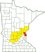
| Chisago County | ||||||
| Central Minnesota | ||||||
Activities |
||
Hiking Trails |
||
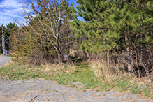
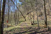
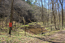
A mowed trail leads from the parking area into the SNA. A discernible but not well worn footpath leads south from there closely following the eastern boundary, to a forest road. The forest road follows the boundary of the sanctuary portion of this SNA from the eastern to the western boundary. It is surfaced with crushed rock and has a gate at both ends. Another footpath follows Lawrence Creek from near the western end of the road to the northern boundary of the SNA. Near where it ends, a steep but manageable climb up the bluff takes the hiker back to the parking area after completing a 3.2 mile circuit, not counting off-trail explorations. The footpaths are easy enough to follow in early spring. They may not be visible on the ground in mid-summer. |
||
Hunting |
||
Archery hunting only. See Hunting and Trapping Regulations (MN DNR) for details. Fishing outside of the sanctuary. |
||
Ecology |
|||||||
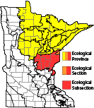
Ecological Classification |
 |
||||||
| Ecological Province | Laurentian Mixed Forest Province |
||||||
| Ecological Section | Southern Superior Uplands |
||||||
| Ecological Subsection | Mille Lacs Uplands |
||||||
| Land Type Association | Almelund Moraine Polk Basalt Moraines |
||||||
Native Plant Communities* |
|||||||
Red Oak - Basswood Forest (Noncalcareous Till) Red Oak - White Oak - (Sugar Maple) Forest Red Pine - White Pine Woodland (Eastcentral Bedrock)
|
|||||||
| * Source: The Minnesota Biological Survey, Minnesota Department of Natural Resources, Division of Ecological Resources | |||||||
Natural Features |
|||||||
Exposures of Cambrian-Ordovician rock formations Floodplain forest Trout stream
|
|||||||
Sanctuary
The cliffs and steep slopes on the southeast and south portions of this SNA are “designated as a sanctuary for research and educational purposes with access only by Scientific and Natural Area permit.”


Visitor Videos |
|||
Share your video of this destination. |
|||
| This button not working for you? Simply email us at info@MinnesotaSeasons.com. Attach a video, a YouTube link, or a cloud storage link. |
|||
Other Videos |
|||

Unusual Bird Sighting
Three Helmeted Guineafowl were seen in the parking area to this SNA on 5/6/2018 by a surprised visitor. They apparently belong to the farm across the road and are free to roam the adjacent fields.
Created: Last Updated: © MinnesotaSeasons.com. All rights reserved. |

