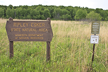
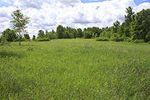
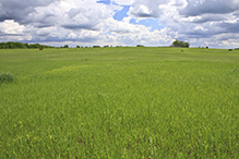
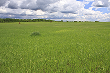
Ripley Esker SNA
About • Location • Activities • Ecology
About |
||
Ownership |
||
|
||
Links |
||
Overview |
||
|
||
History |
||
|
||
Management |
||
|
||
Comments |
||
|
||
Location |
||||
Maps |
||||
|
||||
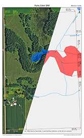
Printable Map(s) with GPS coordinates |
||||
 |
||||
Size |
||||
216 acres |
||||
Parking |
||||
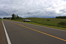
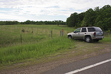
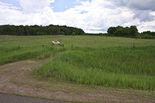
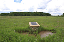
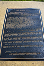
North Parking South Parking and Geologic Marker |
||||
Driving Directions |
 |
|||||
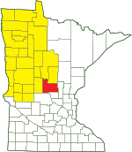
| Morrison County | ||||||
| Northwest Minnesota | ||||||
Activities |
||
Hiking Trails |
||
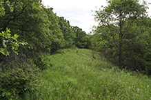
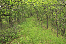
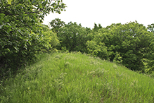
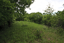
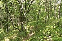
No maintained hiking trails. A well-worn footpath folows the ridge of the esker. |
||
Hunting |
||
No hunting |
||
Ecology |
|||||||
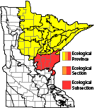
Ecological Classification |
 |
||||||
| Ecological Province | Laurentian Mixed Forest Province |
||||||
| Ecological Section | Western Superior Uplands |
||||||
| Ecological Subsection | Mille Lacs Uplands |
||||||
| Land Type Association | Brainerd Drumlin Plain |
||||||
Native Plant Communities* |
|||||||
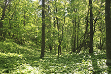
Oak - Aspen Woodland |
|||||||
| * Source: The Minnesota Biological Survey, Minnesota Department of Natural Resources, Division of Ecological Resources | |||||||
Natural Features |
|||||||
|
|||||||
Glossary
Esker
A long, narrow, usually winding ridge of gravel, sand, and other sediment left by a retreating glacier.

Slideshows |
||
Visitor Videos |
|||
Share your video of this destination. |
|||
| This button not working for you? Simply email us at info@MinnesotaSeasons.com. Attach a video, a YouTube link, or a cloud storage link. |
|||
Other Videos |
|||

Created: Last Updated: © MinnesotaSeasons.com. All rights reserved. |

