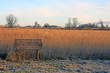
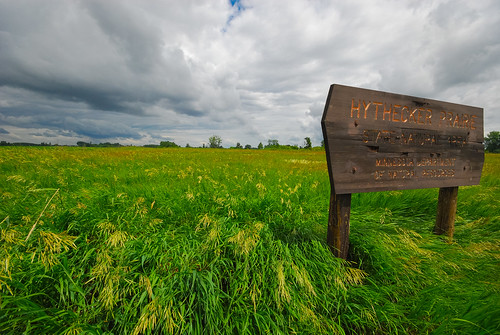
Hythecker Prairie SNA
About • Location • Activities • Ecology
About |
||
Ownership |
||
|
||
Links |
||
Overview |
||
|
||
History |
||
|
||
Management |
||
|
||
Comments |
||
|
||
Location |
||||
Maps |
||||
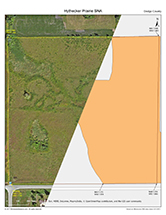
Printable Map(s) with GPS coordinates |
||||
 |
||||
Size |
||||
40 acres |
||||
Parking |
||||
N44 1.374, W93 2.160 |
||||
Driving Directions |
 |
|||||
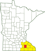
| Dodge County | ||||||
| Southeast Minnesota | ||||||
Activities |
||
Hiking Trails |
||
No maintained trails |
||
Hunting |
||
No hunting |
||
Ecology |
|||||||
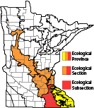
Ecological Classification |
 |
||||||
| Ecological Province | Eastern Broadleaf Forest Province |
||||||
| Ecological Section | Minnesota & NE Iowa Morainal |
||||||
| Ecological Subsection | Oak Savanna |
||||||
| Land Type Association | Blooming Prairie Till Plain |
||||||
Native Plant Communities* |
|||||||
Southern Wet Prairie |
|||||||
| * Source: The Minnesota Biological Survey, Minnesota Department of Natural Resources, Division of Ecological Resources | |||||||
Natural Features |
|||||||
|
|||||||

Visitor Videos |
|||
Share your video of this destination. |
|||
| This button not working for you? Simply email us at info@MinnesotaSeasons.com. Attach a video, a YouTube link, or a cloud storage link. |
|||
Other Videos |
|||
| Hythecker Prairie Scientific and Natural Area Virtual Hike Minnesota Department of Natural Resources |
|||
About
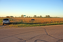
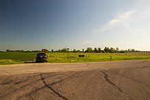
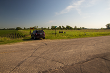
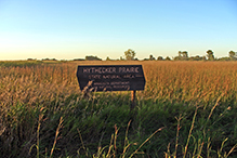
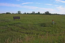
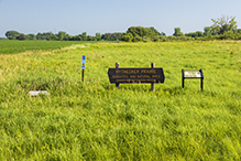
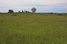
Dec 4, 2020 Depending on your perspective, this native prairie remnant could be considered small or large. A map of Minnesota prairie at the time of the Public Land Survey (1847-1908) shows Dodge County with over 203,000 acres of prairie. Measured against this history, the 26.1-acre remnant preserved at Hythecker Prairie is small indeed. Yet it ranks among the largest of the surviving bits of prairie scattered across the county today. mndnr.gov/snas/sna01038 |
|||

Created: Last Updated: © MinnesotaSeasons.com. All rights reserved. |



_02t.jpg)


