![]()
![]()
![]()
![]()
Des Moines River SNA
About • Location • Activities • Ecology
About |
||
Ownership |
||
|
||
Links |
||
Overview |
||
|
||
History |
||
Part of this SNA was acquired by the Minnesota DNR with the help of a grant from the National Park Service’s Land and Water Conservation Fund (LAWCON). |
||
Management |
||
2008 to 2011: Management of the site has involved the removal of invasive trees and shrubs and an annual prescribed burn each spring. Old fields have been replanted with seeds collected elsewhere on the site. 2012: Seeds were collected on the southern part of the site. Fire breaks were mowed in several areas. Ongoing projects include the removal and control of wild parsnip and bird’s-foot trefoil. 2013: A prescribed burn was conducted on approximately 131 acres on May 15. Several small trees were felled and more were girdled near the stream on the south boundary in November. |
||
Comments |
||
|
||
Location |
||||
Maps |
||||
Printable Map(s) with GPS coordinates |
||||
 |
||||
Size |
||||
246 acres |
||||
Parking |
||||
The parking lot at Christianna Bridge Public Water Access and Picnic Area is at the southwest corder of Des Moines River SNA. Christianna Bridge Public Water Access and Picnic Area County Road 79 |
||||
Driving Directions |
 |
|||||
| Jackson County | ||||||
Southwest Minnesota |
||||||
Activities |
||
Hiking Trails |
||
There are no maintained trails. |
||
Hunting |
||
No hunting |
||
Ecology |
|||||||
Ecological Classification |
 |
||||||
| Ecological Province | Prairie Parkland Province |
||||||
| Ecological Section | North Central Glaciated Plains |
||||||
| Ecological Subsection | Coteau Moraines |
||||||
| Land Type Association | Windom Moraine |
||||||
Native Plant Communities* |
|||||||
Dry Hill Prairie (Southern) |
|||||||
| * Source: The Minnesota Biological Survey, Minnesota Department of Natural Resources, Division of Ecological Resources | |||||||
Natural Features |
|||||||
|
|||||||
What’s in a Name?
The official designation of this site is “Des Moines River SNA.” The wood routed sign on County Road 79; the informational sign in the Christianna Bridge Public Water Access and Picnic Area; and the Minnesota DNR Website; all used the name “Des Moines River Prairie SNA.” The Minnesota DNR has recently changed the name on the Website and will be using the designated name on new printed materials.
Des Moines River State Water Trail
The parking area for this site is the Christianna Bridge Public Water Access, a canoe and boat access and picnic area for Des Moines River State Water Trail. The water trail begins 39 miles north at Talcot Lake and ends at the Minnesota/Iowa border 29 miles to the south.
Visitor Photos |
|||||
Share your photo of this destination. |
|||||
| This button not working for you? Simply email us at info@MinnesotaSeasons.com. Attach one or more photos and, if you like, a caption. |
|||||
|
|||||
MinnesotaSeasons.com Photos |
|||||
Parking |
|||||
 |
 |
||||
Interpretive Sign |
|||||
 |
|||||
Wood Routed Signs |
|||||
 |
 |
||||
Des Moines River |
|||||
 |
 |
||||
 |
 |
||||
Dry Hill Prairie (Southern) |
|||||
 |
 |
||||
 |
 |
||||

Slideshows |
||

Visitor Videos |
|||
Share your video of this destination. |
|||
| This button not working for you? Simply email us at info@MinnesotaSeasons.com. Attach a video, a YouTube link, or a cloud storage link. |
|||
Other Videos |
|||


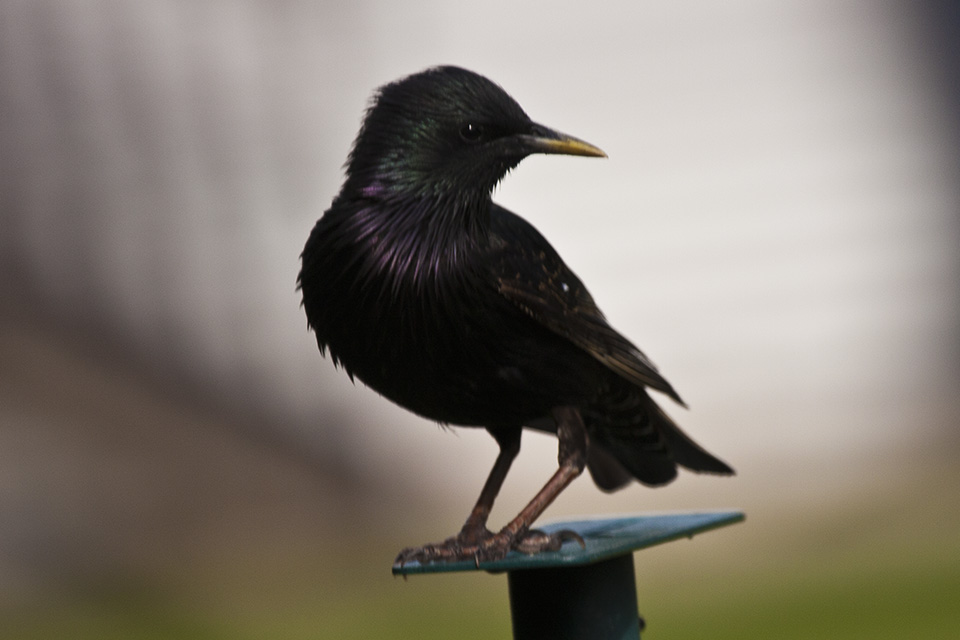
Common Redpolls
A small flock of Common Redpolls was seen here in December, 2012.
Prairie bush clover
One of the largest known populations of prairie bush clover grows here.
Created: Last Updated: © MinnesotaSeasons.com. All rights reserved. |